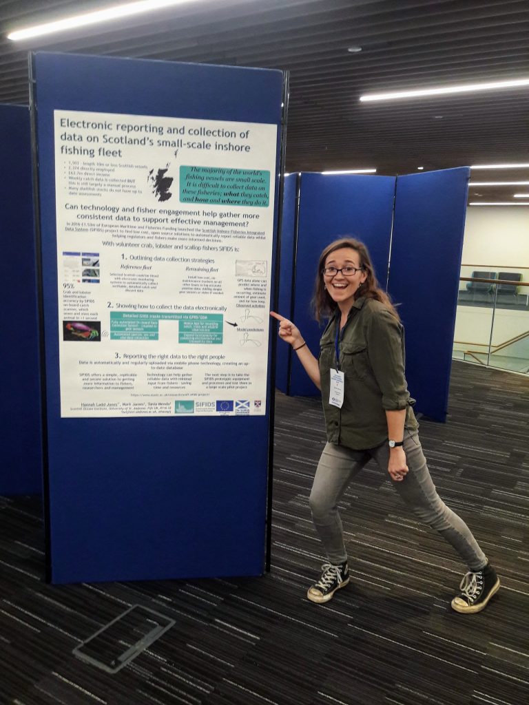
Dr Mendo’s latest paper, “Effect of temporal and spatial resolution on identification of fishing activities in small-scale fisheries using pots and traps“, has been published in the ICES Journal of Marine Science. Small-scale fisheries (SSFs) vessels have generally been exempted from positional reporting requirements, but recent developments of compact low-cost systems offer the potential to monitor them effectively.
The paper’s analysis highlights the optimal rates of data collection to characterise fishing activities at the appropriate spatial resolution, minimising demands for data transmission, storage and analysis. This has significant implications globally for sustainable management of these fisheries, many of which are currently unregulated.
CRMG’s Dr Mendo and Dr James along with fellow colleagues used onboard observers to log fishing activities whilst collecting Global Navigation Satellite System (GNSS) positional data every second on 66 Scottish vessels 12 m and under in length, using static gear (pots or creels), and primarily targeting lobsters, crabs, and prawns. The data were then analysed to understand what the minimum GNSS logging frequency would be needed to accurately infer fishing activities from just the positional track alone (accounting for other key vessel characteristics such as vessel engine size) as part of the SIFIDS Project. For vessels using pots and traps in Scotland, a polling interval of 60 seconds was found to be optimal for estimating the number of hauls, total area fished per trip, mean area fished and spatial extent of fishing activities in small and medium vessels.


