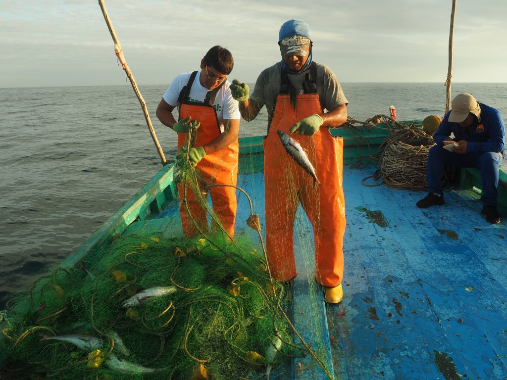
Detailed information on spatio-temporal distribution of fishing activities and fishing effort can lead to improved management decisions, secure fishers’ access rights to important fishing grounds, and avoid conflict between fishers and government agencies. Over the last few decades, electronic monitoring such as Vessel Monitoring Systems (VMS) have revolutionised our understanding of fishing activities and their associated impacts (e.g. by increasing spatial resolution of fishing grounds, more accurate estimators of bycatch). Most of these technologies are used on large scale commercial fishing vessels, however, the recent availability of many low cost systems that electronically monitor fishing vessels opens the possibility to explore their applicability to Small Scale Fisheries (SSF).
The main objectives of this project involve trialing a mobile phone App to see if we can:
1) improve monitoring of the location of fishing activities at a fine spatial scale, and
2) improve data collection of fishing effort and catch in SSFs by analysing GPS tracks.